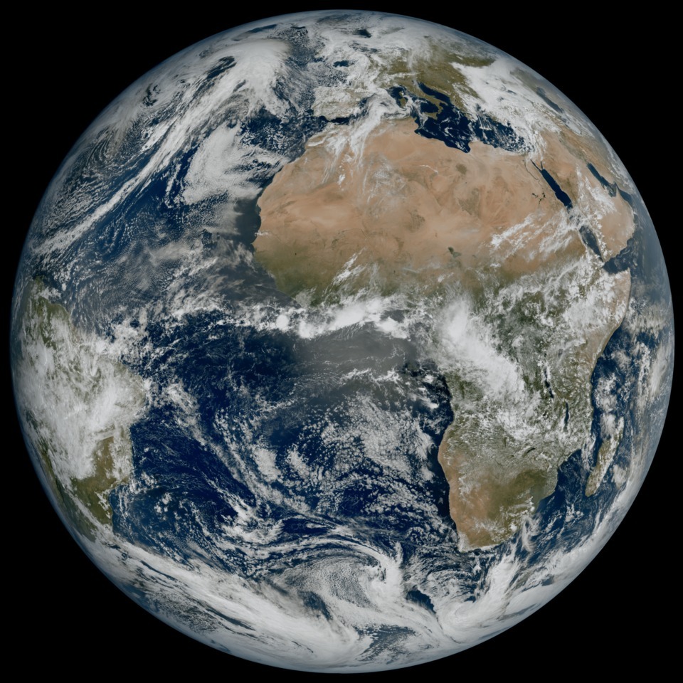
Europe’s most recent weather satellite has captured an extraordinary image of our planet, showcasing its breathtaking beauty even amidst gathering clouds.
The picture, taken by Meteosat Third Generation — Imager 1 (MTG-I1), presents an astonishing level of detail, depicting the weather conditions over Europe, Africa, and the Atlantic. This remarkable image reinforces the satellite’s potential to revolutionize weather forecasting, particularly in predicting severe weather events.
“This image is a great example of what European cooperation in space can achieve,” ESA’s Director of Earth Observation Programmes, Simonetta Cheli, said in a statement.
“The level of detail MTG-I1’s image reveals, unachievable over Europe and Africa from a geostationary orbit until now, will give us a greater understanding of our planet and the weather systems that shape it.”

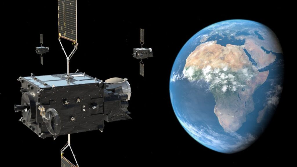
On December 12, 2022, MTG-I1 was launched aboard an Ariane 5 rocket, marking the first of a new series of weather satellites known as the MTG system. These satellites will be operated by Europe’s meteorological satellite agency, EUMETSAT, in collaboration with the European Space Agency (ESA). The complete MTG system is scheduled to become fully operational by 2026, featuring six satellites that will provide crucial data for the early detection of extreme weather events over the next two decades.
Recently released by EUMETSAT and ESA, the latest image was captured by the satellite’s Flexible Combined Imager on March 18, 2023. It showcases a vast region spanning Northern and Western Europe, as well as Scandinavia, covered by an expanse of clouds, while Italy and the Western Balkans enjoy relatively clear skies.
The image also captures other notable phenomena, such as swirling cloud vortices above the Canary Islands, snow-clad Alps, and sediment in the coastal waters of Italy. ESA emphasizes that these intricate details were not as clearly visible in images captured by the previous generation of Meteosat Second Generation satellites, which MTG-I1 and its fellow third-generation spacecraft are poised to replace. In fact, certain features were entirely absent from the satellite images of the previous generation.
MTG-I1 has also exhibited its capability to observe cloud formations in high latitudes. This capability will assist weather forecasters in monitoring the rapid development of severe weather in these specific regions across the globe.
“This remarkable image gives us great confidence in our expectation that the MTG system will herald a new era in the forecasting of severe weather events,” EUMETSAT director general, Phil Evans, said in ESA’s statement. “It might sound odd to be so excited about a cloudy day in most of Europe. But the level of detail seen for the clouds in this image is extraordinarily important to weather forecasters.”
The third generation of Meteosat meteorological satellites will not only capture images at a higher resolution compared to their predecessors but will also provide more frequent updates of the planet. Once fully operational, the system will generate images of the Earth’s complete disc every 10 minutes. This increased frequency will greatly contribute to the MTG system’s ability to monitor severe weather patterns effectively.
“The high-resolution and frequent repeat cycle of the Flexible Combined Imager will greatly help the World Meteorological Organization community to improve forecasts of severe weather, long-term climate monitoring, marine applications, and agricultural meteorology, and will make an important contribution to the Early Warnings For All.
Initiative, in particular on the African continent,” Head of the World Meteorological Organization Space Systems and Utilization Division, WMO, Natalia Donoho, said in the statement.
However, it will be toward the end of 2023 when MTG-I1 starts supplying meteorological data to services in Europe and other parts of the world. Over the next 12 months, the satellite’s operators will activate its Flexible Combined Imager and Lightning Imager instruments, while also calibrating the collected data.
Furthermore, joining MTG-I1 in orbit will be the groundbreaking MTG Sounding (MTG-S) satellite, equipped with an Infrared Sounder and an Ultraviolet Visible Near-Infrared spectrometer. This addition will enable the modeling of atmospheric instability within clouds, representing a significant advancement in early warning systems for severe thunderstorms.
“Following the launch of the MTG-I1 satellite, the momentum in the MTG program is relentless,” ESA’s Meteosat program manager Paul Blythe said. “The initial results from MTG-I1 are hugely motivating for those who have worked on the program and create a major impetus to complete the full MTG constellation by 2026.”
Expected to be completed by the middle of next year, the MTG-S satellite will also provide valuable data concerning ozone, carbon monoxide, and volcanic ash within Earth’s atmosphere.
READ MORE: Lost Weather Balloon GoPro Found Two Years Later with Incredible Footage of Earth from Space